


‘What’s growing in this field’?

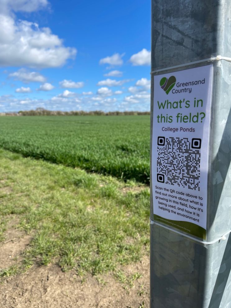
We are delighted to launch our new interactive interpretation trail that along part of the Greensand Ridge Walk and other public footpaths in the Northill and Beeston area.
Why not take a walk along the Greensand Ridge Walk from Thorncote Road through to Vinegar Hill, and then through the footpaths onto Beeston. You will discover QR code markers that give you information on what is growing in the fields, what they are used for, and how the fields are being used to support wildlife.